
Walking Trails of West Cork
West Cork has something for everyone and the same can be said when it comes to its rich variety of walking routes. For those who enjoy a more leisurely pace, you’ll find spectacular scenery and historical landmarks along the way. For walkers in search of more of a challenge, there are no shortage of hills and rugged landscape to traverse. In the walking section of this website we have endeavoured to provide you with the best of West Cork’s beautiful walks, along the coastline, into the woods and up the mountainside…we hope you enjoy what’s on offer.
-
Argideen Valley Trail
The Argideen Valley Trail includes way-markers, map boards and interpretive …
Explore
-
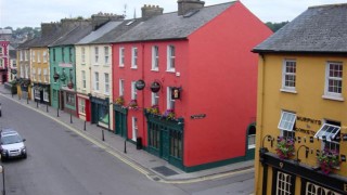
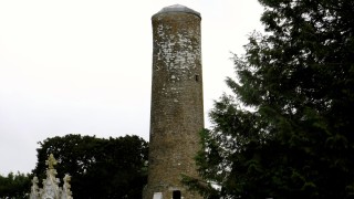
Bandon Town Walks
Get a different view of Bandon by walking the streets and meeting the people of …
Explore
-
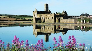
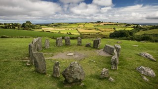
Bantry’s Heritage Loop Walks
Bantry has a wealth of heritage, natural and built, from sea, woodlands and …
Explore
-
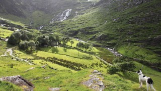
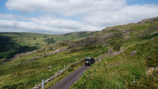
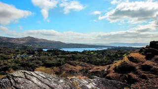
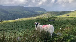
Beara Looped Walks
Beara offers some stunning looped walks.
Explore
-
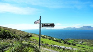
Beara Way Walking Route
The Beara Way was established by a local voluntary group in the early 1990s as …
Explore
-
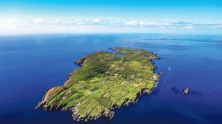
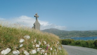
Cape Clear Island Walks
Cnoicín’s Loop and the Gleann Loop are the island’s two official walking trails …
Explore
-
Carrigfadda Hill Walk
Carrigfadda, or An Charraig Fhada in Irish, can be translated to mean the Long …
Explore
-
Clonakilty & Area Walks
Clonakilty has a number of walking trails inland and along the coast suitable …
Explore
-
Coppeen Waymarked Walks
This is a series of walking routes around the Coppeen area, which is only a few …
Explore
-
Drimoleague Heritage Walkways
Drimoleague, which was once the busiest railway junction in West Cork with no …
Explore
-
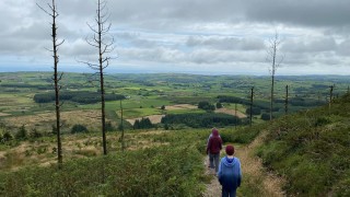
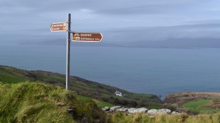
Dunmanway Hill Walking Trails
There are several well-designed walks, from easy to hard, to the north of …
Explore
-
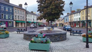
Dunmanway Town Heritage Walks
There are a number of pleasant heritage walks around Dunmanway Town. Listed …
Explore
-
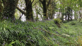
Garrettstown Wood Trails
Garrettstown Wood is located on the edge of Ballinspittle Village, close to …
Explore
-
Glandore and Union Hall Walks
Taken from ‘Rambles Around Glandore’ by Tom Phelan.
Explore
-
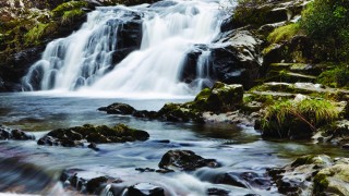
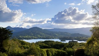
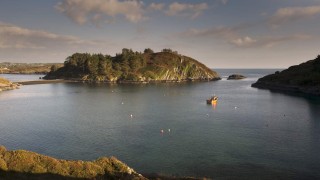
Glengarriff Nature Reserve
The name Glengarriff is derived from the Irish Gleann Gairbh, which translates …
Explore
-
Great Glengarriff Horseshoe
There are numerous short hikes in the area but here are the three most popular.
Explore
-
Hungry Hill Walk
The following article was written by Tony Doherty. Used with kind permission …
Explore
-
Kilbrittain Trails
The Kilbrittain walking trails all start at the park in Kilbrittain, an …
Explore
-
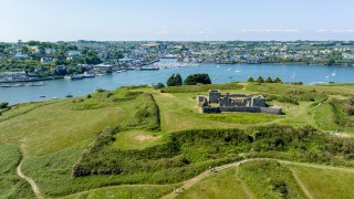
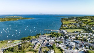
Kinsale Heritage Walks
Kinsale has always been a bustling port. It was a base for Ireland’s earliest …
Explore
-
Lough Hyne Loop Walk
From the car park, walk back out to the road. Go left on the road, which starts …
Explore
-
Schull Walks
The following 5 walks include a green or ‘off road’ element which means you …
Explore
-
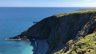
Seven Heads Walk
Situated on the picturesque West Cork coastline, the Seven Heads Peninsula …
Explore
-
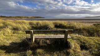
Sheeps Head Looped Walks
Sheep’s Head is home to villages of Durrus, Ahakista and Kilcrohane and is one …
Explore


